Technology we advise on
Satellite Crop Monitoring
Frequent, field-wide imagery that tracks crop health across the season without a site visit.
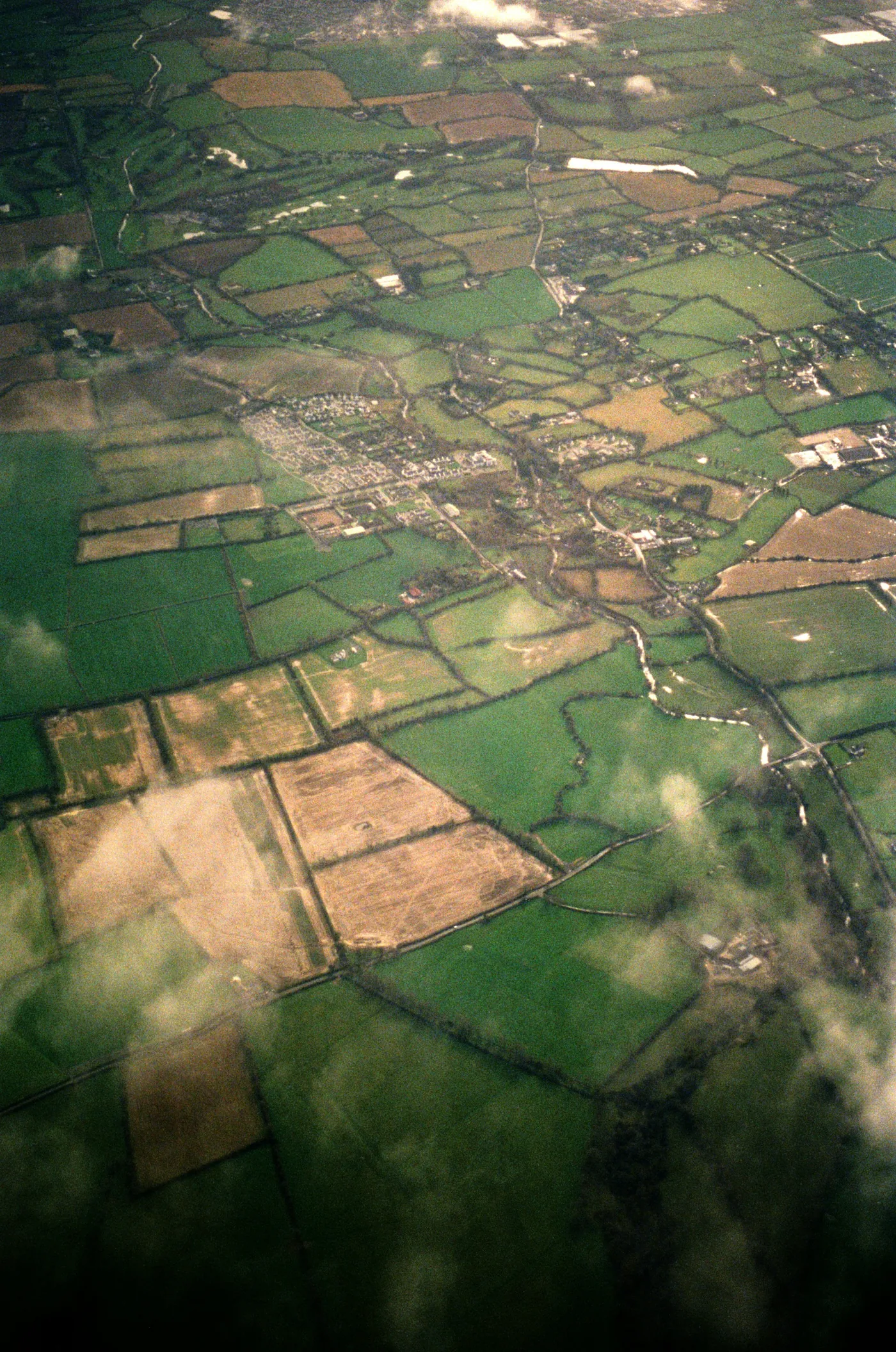
Frequent, field-wide imagery that tracks crop health across the season without a site visit.
Satellite platforms revisit fields every few days, generating vegetation health indices (such as NDVI) that reveal variation across a crop over time — complementing more detailed but less frequent drone surveys.
Monitor large areas frequently and affordably.
Track how the crop develops week to week.
Compare performance across seasons.
Well suited to larger arable operations wanting consistent, wide-area monitoring alongside targeted ground checks or drone surveys where more detail is needed.
Book a consultation and we'll help you find the right starting point for your land.
Request a Consultation