Technology we advise on
Drone Crop Monitoring
Aerial imaging — including NDVI and multispectral analysis — helps spot crop stress and disease before it’s visible from the ground.
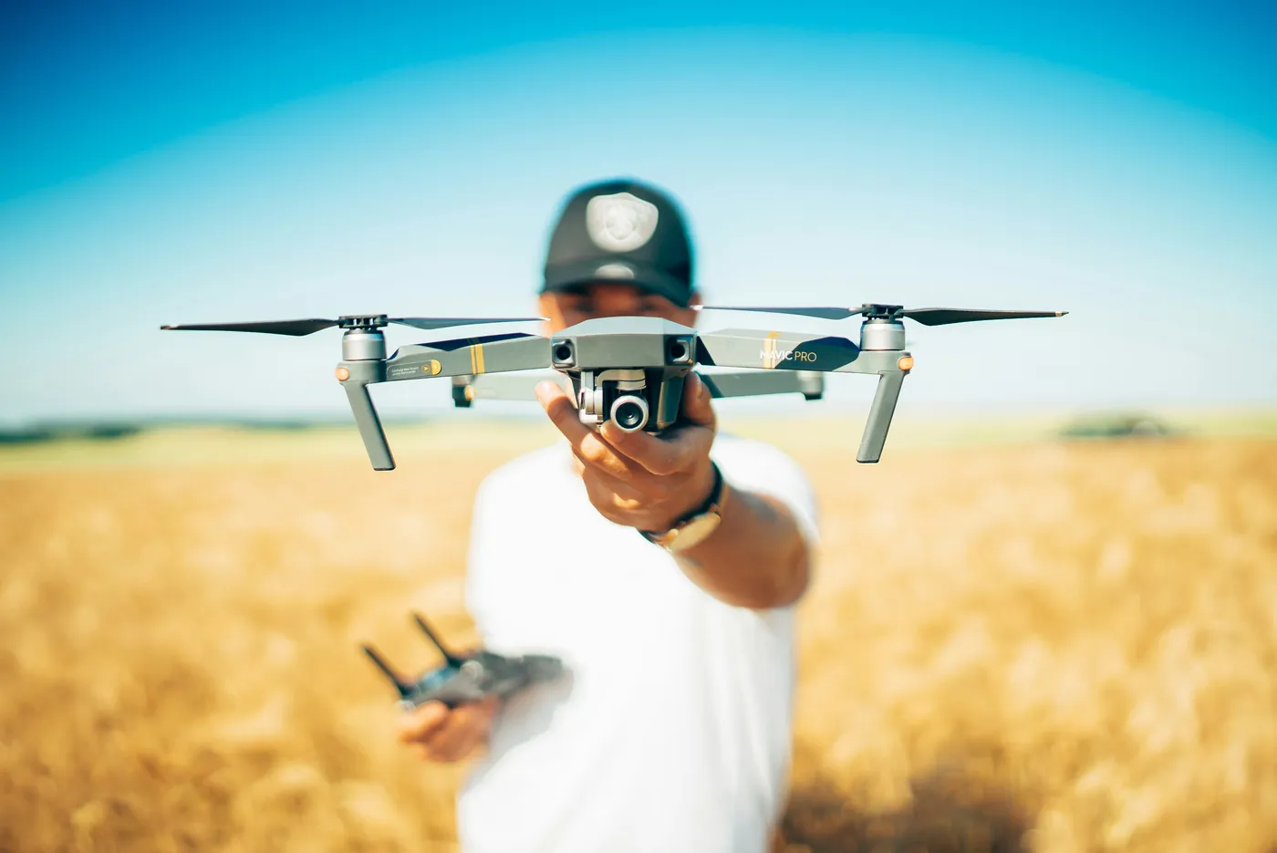
Aerial imaging — including NDVI and multispectral analysis — helps spot crop stress and disease before it’s visible from the ground.
Drones fitted with standard or multispectral cameras survey fields from the air, producing imagery that highlights variation in plant health across a crop — often before problems are visible on foot.
Spot problems before they spread across the crop.
Direct scouting and inputs to the zones that need them.
Ground-truth field variation with real imagery.
Particularly useful for larger arable blocks, orchards, vineyards and disease-sensitive crops such as hops, where early warning has real value.
Book a consultation and we'll help you find the right starting point for your land.
Request a Consultation